The Old Flume Trail near Placerville: A Hidden Historic Gem
Contributed by Keli Gwyn
Due to the current situation, my husband and I have focused our explorations close to home. We’d often driven past The Old Flume Trail, but only recently made good on our intention to hike it. I’m so glad we did. This hidden historic gem has a lot to offer.
A stone marker at the trailhead recounts the history of the Luce Ditch Flume, the name the waterway acquired in 1920 when brothers George and John Luce inherited the ranch from Izaac and Elizabeth Ober, who settled the land in 1860. The Luce brothers managed the flume until 1924. Water from the flume supported beef and cattle ranching, orchards, vineyards, and mining operations in the eastern Gold Hill area nearby. Standing 153 feet and stretching 750 feet between its ridges, this flume is believed to be the tallest built in El Dorado County.

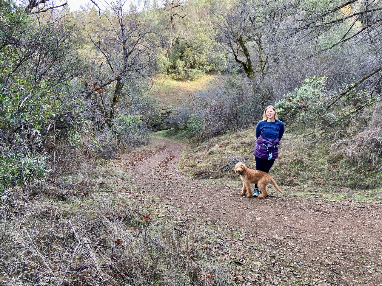
Although this hike begins on level ground, you’ll quickly turn a corner and begin your descent of some 800 feet to the riverbed below. Because of the steep, somewhat rocky terrain, hiking boots or shoes with serious lugs are highly recommended. Water is advised too. If you have them, trekking poles can be useful for braking on the way down as well as for the return climb.
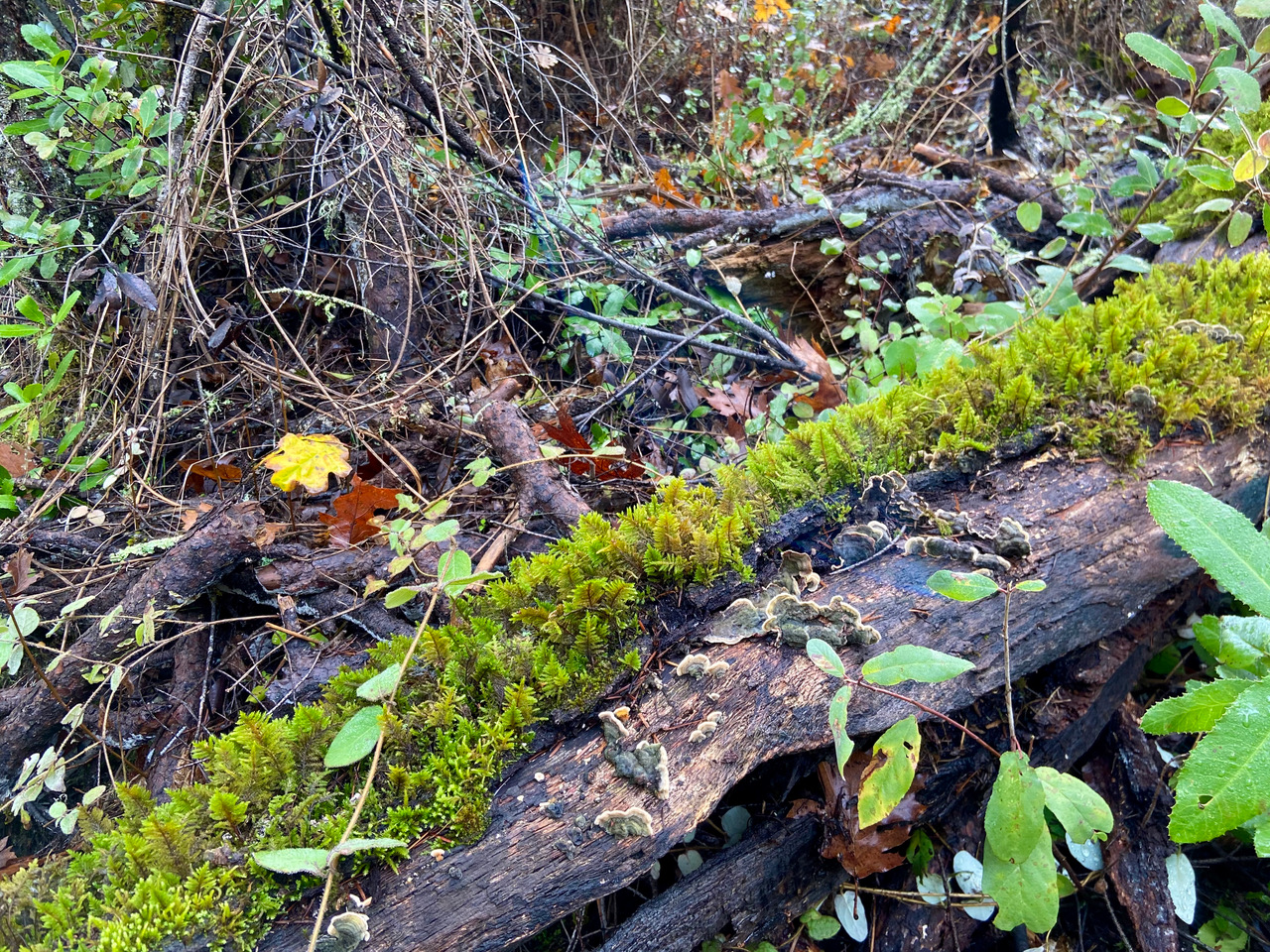
Your descent will take half an hour or so. Along the way, you’ll be greeted by a feast of trees, shrubs, mosses, lichens, ferns, and more. About a third of the way down, look for a narrow path on your left worn by those eager to get their first glimpse of the flume. Photographers will enjoy capturing this striking image—as well as those to come.

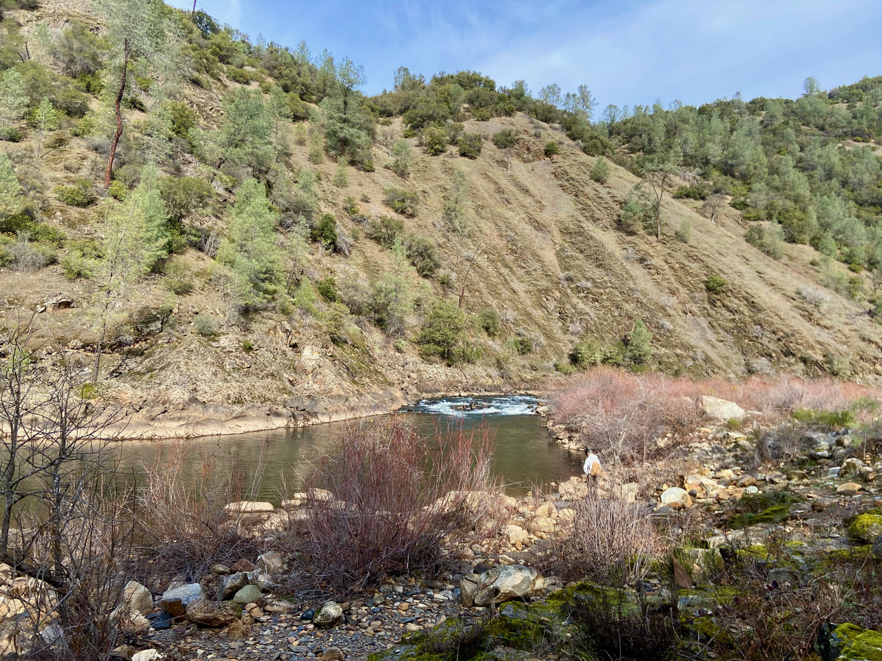
The roar of rushing water will announce your imminent arrival at your destination: The South Fork of the American River. As the river comes into view, note the flume easily visible on your right. It continues on your left. By carefully walking along it, you can get great views of the river below. Boulders at the water’s edge offer great spots for a picnic lunch or drinking in the view before your ascent, which can take an hour or two, depending on how fast you climb.
Situated on Bureau of Land Management property—our public lands—the trailhead is easy to find. From Placerville, head north on Highway 49. Go approximately four miles until you come to a sharp bend in the road. Park in the graveled lot on your right opposite The Red Shack on your left. The BLM asks visitors to park on the left facing the fence to accommodate more vehicles and to avoid parking along the busy highway.

I encourage you to add the Old Flume Trail to your list of hikes to take when travel restrictions are lifted. Along with a good workout, you’ll get to experience history up close and enjoy richly diverse flora and fauna. One couple we passed, frequent hikers of the trail, said that in the spring, different flowers are blooming each time they visit. I will definitely return, so I just might see you there.
